

Duration: 7 Hours 19 minutes
Vertical Up: 3684 feet
About two years ago I went on a hike to Skull Mesa. The hike was described with the following disclaimer “The terrain can and will be difficult at times so be prepared. The hike might take anywhere from 6 - 8 hours depending on how fast (or slow) we hike.” I never made it to the top of Skull Mesa and the group ended up finishing the hike 10 hours later in the dark.
This failure has weighed on my mind for a while. I’ve wanted to try this hike again now that I
am in a little better physical shape. With
the help of a hiking club I am a member of, I arranged a geocache event to
Return to Skull Mesa.
The Skull Mesa hike can be broken up into three legs: Hiking
the river, hiking across to the base and the final assent to the summit. A better description of the route can be
found at the Hike Arizona site.
 |
| View of Skull Mesa from the Parking Area |
Hiking the River
 |
| Looking back at Cottonwood Creek |
We all paid our $3.00 and began the first leg of the hike. This
leg follows Spur Cross Road as it crosses Cottonwood Creek. It is a well maintained trail and is part of
the Maricopa Trail System. Two miles and
a few creek crossings later we arrived at the trailhead of the next leg of our
hike.
Hiking Across to the
Base
 |
| Skull Mesa is getting Closer |
After finding a geocache, we started our hike on the Cave Creek Trail System. We briefly followed Cave Creek trail #4 (for about 500 feet), then took a right onto trail Cottonwood Trail #247. Cottonwood trail took us east cross country for approximately 4 miles. This portion of the hike followed the terrain of the hills with several assents and descents mixed in.
 |
| Hikers finding a cache |
The last mile or so of this portion is a pretty steady climb to the base of Skull Mesa Summit trail. As it turns out, this four mile stretch takes a whole lot out of you. The switchbacks and constant climbing and descending never quite allow you to catch your breath.
It took us about two hours to hike the four miles to the
base of Skull Mesa. When you reach the
trail, there is a gate with a pretty cool self-closing weight. At this point we rested for 15 minutes before
beginning the climb to Skull Mesa
The Final Assent
 |
 |

 |
 |

 |
 |
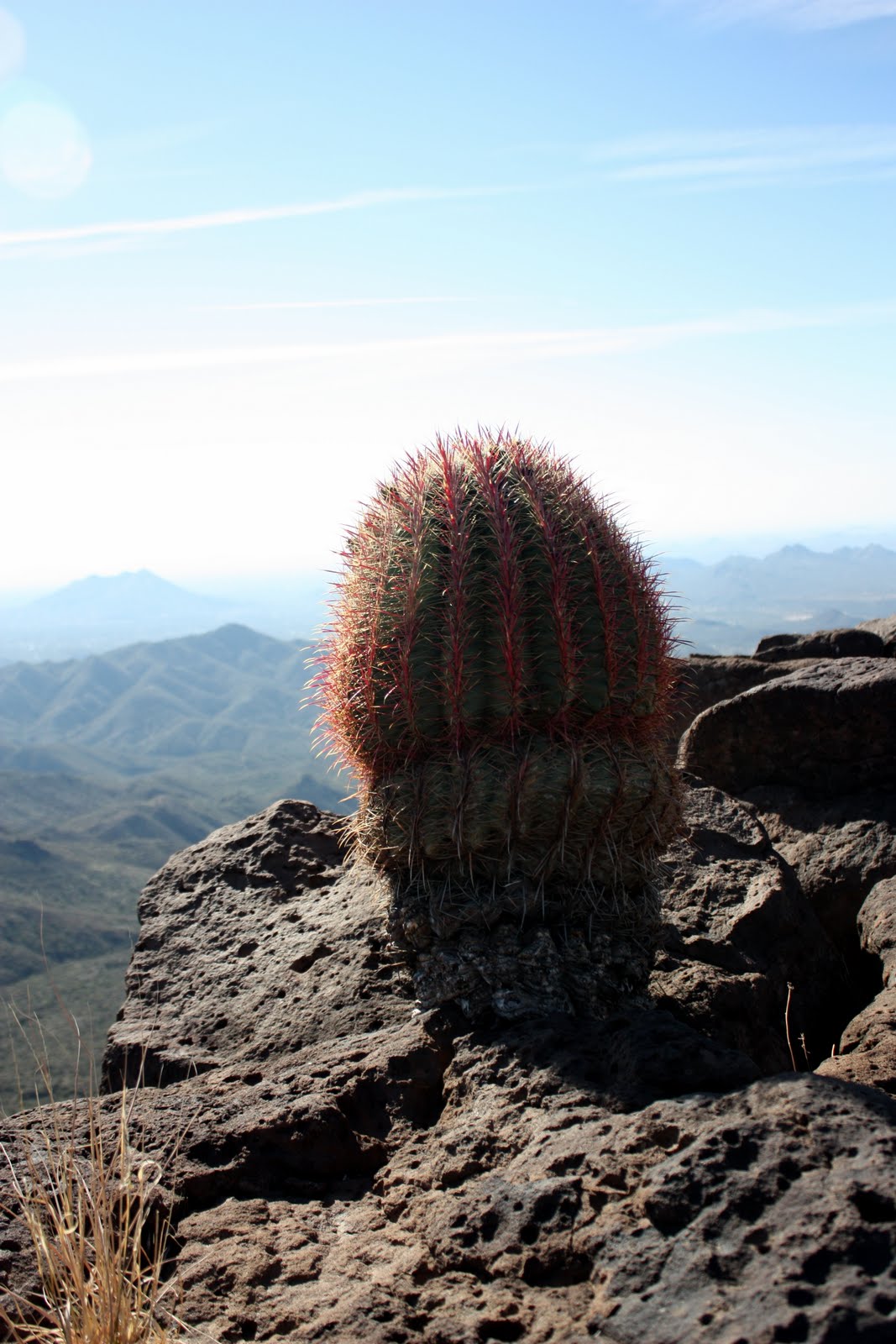
The Skull Mesa Cache is a very cool cache with a few
resident travel bugs and it even hides a real skull.
 |
 |

|
 |
After resting up, we decided to pass on exploring the mesa
and beginning the descent down. Although the descent is not tough on the
lungs, it sure is tough on the legs.
Basically you are in a control fall for most of the way back to
Cottonwood Creek. I welcomed the few
uphill portions on the way back. It
probably is hard for non-hikers to understand but I really prefer climbing over
descending. Sure it’s tougher on the
muscles, but, it is easier on the knees.
 |
 |
If you like hiking I would recommend this hike. It’s not for everyone and should be
considered strenuous. I can’t wait to go back (when I am a bit
stronger) and explore the backside (north) of the Mesa. I understand there are some Indian Ruins back
there.
No comments:
Post a Comment