Sunday, September 25, 2011

2011 9-25 Daisy Mountain

Sun Rising over Daisy Mountain
It's my opinion that Daisy Mountain is the best peak to climb in Maricopa County.  It is a beautiful hike.  For me the beauty is Daisy Mountain itself.  Depending on the time of day, Daisy Mountain has different personalities.  In the morning the sun rises behind the mountain providing perfect back lighting and hiking in the shade.  When the sun sets the mountain glows red.  Simply outstanding.

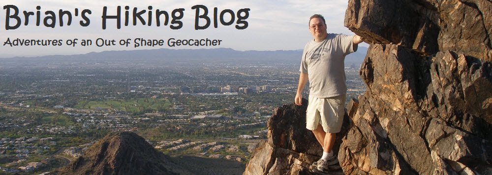
If yesterday's hike was like carpooling on the 405, today's hike a lonely drive in the countryside.  If I'm going to do the Phoenix Summit Challenge in November (more info here), I figured I have to crank up my hiking.  So this morning I decided to hike my "home trail" of Daisy Mountain.


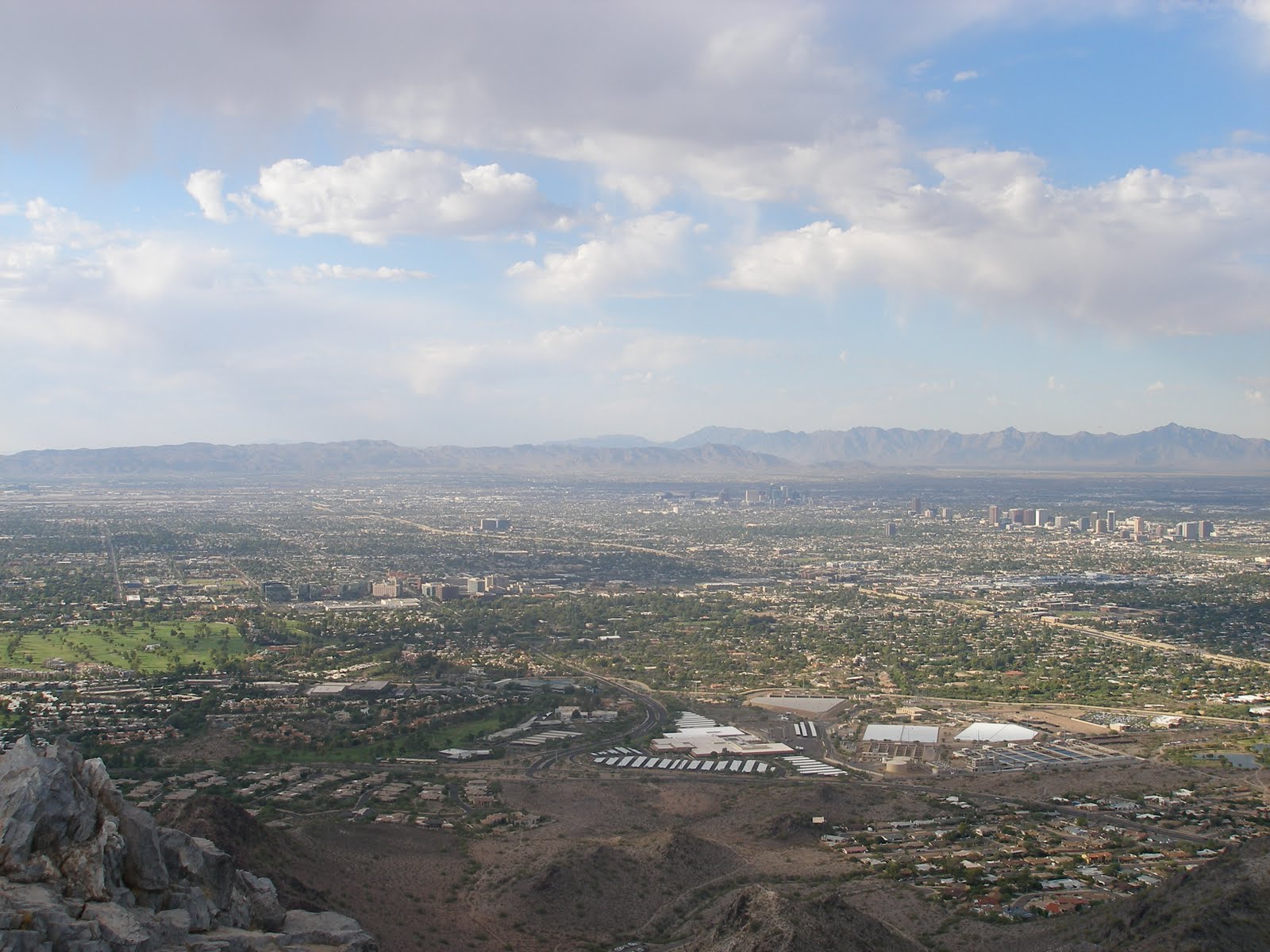
The hike is basically flat for the first mile.  This allowed me time to get stretched out and to make sure I had recovered from yesterday's hike.  After hiking the flat section and the first hill, you are awarded with a southern view of Anthem and a northern view of what is coming.  As the trail started getting steep, it began to sprinkle just a bit.  This was really weird because the sky was blue and the clouds were white.  I wasn't complaining though because the smell of fresh rain in the desert is overwhelmingly great!


I guess now is as good as time as any to admit I think I'm crazy.  You see, I am convinced that my iPod can sense my mood and plays songs that it thinks match my mood.  This morning it was REM's Untitled Track (link), Stan Ridgeway's A Mission in Life (link) and Steve Martin and the Steep Canyon Ranger's Saga of the Old West (link).

I reached the loop turn off in about 45 minutes and southern summit in just over an hour.  From there its a  quick hike to the northern summit.  This is where the flag is ... or was ... today it was just a flag pole.  I spent about 1/2 hour here resting, thinking and enjoying some alone time.  It was cool to take the iPod off and listen to nothing.


After gathering my stuff, I began down the backside of the mountain.  I guess I lost the trail back there and spent about 1/4 mile scrambling "off trail".  After making down the back and looping around to the loop turn off, it was a quick hike back to the Gem Car.  It was great to hike 2 days in a row!

3D Track Log from Google Earth


By the way ... after the hike I had to go buy some new pants for a business trip this week (my boss told me I needed them).  Well - my waist is SIX inches smaller!  Woot!


Saturday, September 24, 2011

2011 9-24 Piestewa Peak


Length:  2.1 miles


Duration: 3 Hours 11 minutes

Vertical Up: 1430 feet


My track log at EveryTrail


Today I hiked on the 405 freeway. Well, not really - but I did hike on the 2nd busiest trail in Arizona.

Piestewa Peak is a busy trail. On Saturday it's insane. We arrived early for the hike thinking that parking would be a problem - we were right. It was impossible to find a spot so Mike dropped us off and went to park on the streets below the park.

According to Hike Arizona, the trail is an old horse trail (click me). The trail was mainly used for means to travel to an old mine. I don't know about horses, but, we passed some odd looking people today. The trail is a combination of dirt path and steps made from rocks. While the trail is really no harder than walking up a steep stair case, the rocky terrain and the mass of people makes concentration imperative.


The trails starts of with some longer switchbacks quickly ascending from the valley floor. In no time at all you are rewarded with your first elevated view of the valley. As the trail progresses up to the summit, the steps get larger and the trail gets steeper. About midway up there is a nice bench for rest plus many other places to rest along the way. I did not use those today. I hiked this trail a few years (and 35 pounds) ago. Because I have been hiking and working out, today was a breeze. It was actually a lot of fun!


Back to the hike, its really a short trail (by short I mean 1400 foot elevation gain in a little over a mile). The thing that makes this hike unique is the mass of people on the trail with you. As a person that likes to people watch, I can tell you it was really fun to watch the mix of people I passed. I saw everything from a group of boy scouts to a couple arguing about the guy mistreating her the night before. Imagine listening to that all the way up!


In no time at all I was at the summit. I was the 2nd to arrive and we sat and enjoyed the summit for a while. After 15 minutes or so the group started to trickle in. While we were at the summit, a Phoenix police helicopter appeared below us. It was a cool site (but not one I was quick enough to catch on camera).

With all the people and the rocky terrain, the steep descent requires some real concentration. Once again I was following Mike (a fellow geocacher). He hikes real fast so I was really working. To break up the descent, we stopped and found two geocaches (Slide Rock and Scar(r)y 9 9 9). They were tough finds! In no time at all we were back at the bottom and off to the car. Another fun hike! I look forward to Shaw Butte next week!

Sunday, September 18, 2011

9-17-2011 North Mountain Geocaching Event


Length: 6.6 miles

Duration: 5 Hours 10 minutes

Vertical Up: 1982 feet


My track log at EveryTrail


This week's geocaching hike was on North Mountain.  The group was meeting up at 8:00 AM to hike to the top.  I made a plan to arrive at the North Mountain Visitors Center (link), do some geocaching for an hour, then meet the group at 8 AM for the hike.  That was the plan ...


View of North Mountain (looking south)

I arrived at the visitors center around 6:45 and spent the next 45 minutes hiking the preserve and finding some geocaches.  As it got closer to 8, I wound my way around the mountain to where I thought the group was meeting up.  Here is where I was reminded of a lesson in directions.  Maps are in 2D and hills are 3D.  It turns out that the group was not meeting in the parking lot I thought, they were about 1/2 mile south.


The Geocachers meeting at the Ramada


This was no problem as I had plenty of time to hike down to them.  I looked on the map and thought I could get there by following the road up a bit and around the mountain.  Well, I was wrong.  By 8 AM I found myself on top of the mountain looking down at the group meeting up at the location I was supposed to be at!


Scratch that plan.  Since I was already on top, I decided to wait around up top until they made it up.  Killing time was a mixture of relaxing, exploring, geocaching and watching the group work their way to the top.


The group eventually made it to the top.  It was fun to greet them as they passed.  It was even better to have more eyes to hunt the cache I could not find.  (Up on top Cache).  We did not stay at the top long as some in the group wanted to go find a puzzle cache that they had figured out.  We made our way down the backside of the mountain to a different peak.  As we were doing this we passed a sad sight.  There was a dead golden retriever lying under some bushes.  As best we can figure, it must have ran off and made it to this spot.  Very sad site.

We found the mystery cache in short order.  After that, a few guys said that they wanted to head down into the preserve and do some of the caches on the main trail through the preserve.  Since this was my plan, I decided to join them.  We started hiking down the mountain ... right past the "Area Closed" sign.  This was a steep descent.  It was also a quick decent as the guy leading us down is a strong hiker.

We made it down to the valley floor and began our trek on the trail.

Geocaching in the preserve with MikeJF57
I spent the next hour hiking and geocaching with two seasoned cachers.  By the end of the day, I ended up with 15 caches found, 2 DNFs and 1 sore body.

What a Great day!


Sunday, September 11, 2011

9-11-11 Camelback Mountain - Cholla Trail


Length: 3.7 miles

Duration: 2 Hours 40 minutes

Vertical Up: 2313 feet


My track log at EveryTrail


After taking a few weeks off from hiking I was itching to get back to hike.  As it turns out, over the next 7 weeks one of the local Geocachers is doing a "Seven Summits of Phoenix" hike.   His plan is to hike a different summit in Phoenix every weekend for the next 7 weeks.  Today was the Camelback Mountain leg.  Since I'd never been up there, I committed to go.

For those of you who don't know, Camelback Mountain is busy.  Since this is the centerpiece of Phoenix and home to many resorts, there are tons of people who hike this trail.  There are two ways to the top (from the east and from the west).  This hike was on the less busy Eastern side, also known as the Cholla Trail.

Cholla Trail is 1 3/4 mile long with a 1700 foot elevation gain.  The first 2/3s of the trail is pretty standard hiking, with the last 1/3 being difficult scrambling up and over rocky ridge line (using your hands and feet) to the summit.

Parking is a big deal around Camelback.  There combination of expensive houses and packed streets puts parking at a premium.  The side streets up to the trail head are closed to parking (although that does not stop a few stupid people).  The City of Phoenix has done a good job here opening 64th street to parking.  I found a spot on 64th street about 1/2 mile from the trail head.  I gotta say I was amused by the hikers searching for a spot closer to the trailhead.  Your going to hike a mountain people, a 1/4 mile extra walk ain't gonna kill you!


So there we were, 17 of us ready to hike.  The organizer of the event stressed to us that WATER was essential and even brought extra water.  Since I ran out of water on a hike with him last year, I call this the "Brian Speech".  On to the hike...


The Cholla trail rises to the summit of Camelback from East to West, mainly on the north side of the mountain.  In the beginning you are limited to awesome views to the north and east.  As you reach the summit, the whole city comes into view with a pretty spectacular 360 degree view of the city.


Once you reach the trailhead you immediately start climbing.  In the beginning the trail parallels the backside of The Phoenician Golf Course (http://www.thephoenician.com/)


As the trail begins to climb you make your way to the south side of the mountain, getting your first glimpse of The Phoenician, Papago Peak and all of Phoenix.


I felt GREAT on this hike.  All these months of working out and watching what I eat are starting to pay off.   I was in the front group and charged up to the top.  It was really a great feeling to be in shape enough to love a difficult hike like this one.


My group reached the summit in 50 minutes.  Over the next hour, the rest of the group started to trickle in (a bunch of them had stopped at the numerous geocaches on the way up).  I also took the opportunity to find a geocache. Once we all were safely there, a summit picture was taken and the group leader left a flag in honor of September 11th victims.


After a bit more rest and swapping stories with other Geocachers, It was time to go.  On the way down, I scrambled off trail up another peak with a few others to find a geocache (GrĂ¼nes Zinn Geocache).

It was a fabulous day for hiking and a great event!  For those interested, you can read about the event here: SSoP: Camelback