Since I don’t own a 4WD, I chose from the west. I have been back on Table Mesa road many times and knew the area well. Besides, adding 5 miles to the hike was a no brainier.
 I decided to take Josh along on the hike. A few hours outside and not in front of the X-Box would do him good. We arrived at the trailhead and paid our six dollar “daily use” fee, fired up the GPS and set out hiking. From the start, it was a short ¼ mile or so down to the Aqua Fria River and our first obstacle. The “river” portion was about 30 feet across and crossing it meant traversing over the top of the dry rocks. Not a problem in my mind, but, Josh was a bit panicked. After some encouragement and a few pointers, Josh bounced across only getting his toes wet.
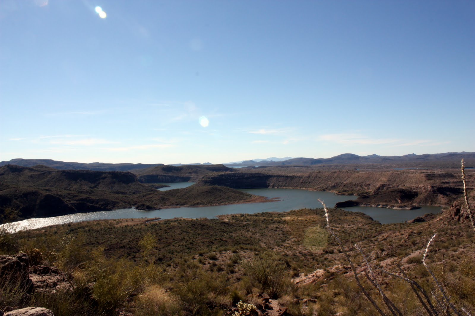
We continued across the river to the other side and put our minds in “go” mode for the 2 ½ mile hike to the base of Indian Mesa. The hike along the river was very sandy and actually not easy. Basically we were hiking along the beach for 2 miles. Along the way we past some cattle, a Eucalyptus tree grove and some beautiful sandstone cliffs.
 The next segment of the hike was about 1 mile of uphill along an occasionally steep road. In this segment Josh really started to struggle and I was wondering if he was going to make it. With many breaks and a few pep talks we were soon at the location I had marked on the map as the trailhead up to Indian Mesa After 5 minutes of searching, we found the game trail and were on our way up to the summit.
The hike up was ¼ mile long and very steep. It was also amazingly beautiful! As we arrived at the top of the mesa, it took some investigation to find the access point. Once we found how to get up to the top, I was blown away. On top there are at least 10 buildings (Indian Ruins) some of which are very in-tact. The Indians sure had it right picking this spot.
We spent a good ½ hour up top looking around and recharging the batteries. The hike back was slow and fun. Josh really enjoyed himself. I gotta admit … I like hiking alone a lot better.
According to my track log, this was a 6 mile hike with 1100 foot vertical up. I would recommend this hike to anyone and would even act as a guide! I can’t wait to hike it again.


