Sunday, June 19, 2011

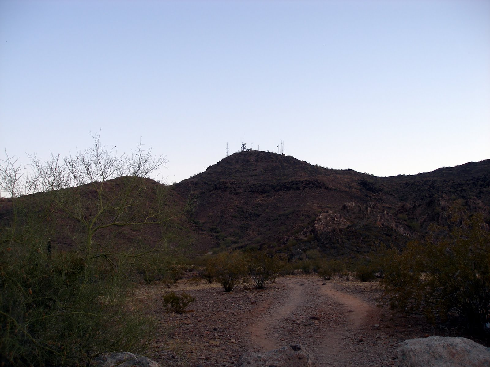
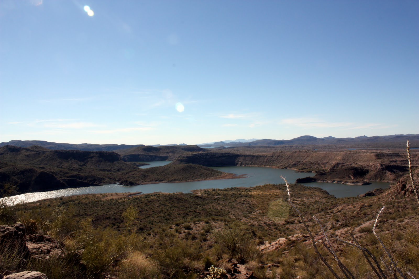
Lookout Mountain - 6/19/2011


Length: 1.4 miles

Duration:36 minutes

Vertical Up:719 feet


My track log at EveryTrail


I decided to do a quick father's day hike today. I really wanted to see how my muscles recovered from yesterday's hike of North Mountain / Shaw Butte.


In a few short minutes I was up to the top looking south at the two mountains from yesterday's hike.


This was a short hike and a lot of fun. Even did some jogging!

Saturday, June 18, 2011

Shaw Butte / North Mountain Loop - 6/18/2011


Length: 6.8 miles

Duration:3 hours 07 minutes

Vertical Up:2539 feet


My track log at EveryTrail


Smack dab in the middle of Phoenix is North Mountain and Shaw Butte. These two peaks are part of over 35,000 acres Phoenix has set aside for hikers, bicyclists and equestrians who want to get away from it all without leaving the city. More than 100 miles of trails are available for exploring the beauty of the Sonoran desert.

As part of my recent weight loss regiment, I have been doing some research for my next goal (more on that in the coming months). Ever since these two peaks popped up on my radar, I have wanted to climb them. After doing research at the Arizona Hiking trail index web site, I found a route that would conquer these two peaks in on pass (Click me!).

It’s getting hot in Phoenix now so I had to start REAL early. I woke up at 4:45 and made it to the start of the trail by 5:30. It was light out, but the sun had not peaked above the eastern horizon yet. The first part of this hike was up to the top of Shaw Butte, with the first 45 minutes in the pre-dawn light. After a short hike in, the climb started, and what a start!


The first bit of the trail is switchbacks up the “backside” of the mountain. Once that initial climb is done, you reach a dirt road for the rest of the hike to the top. As the sun came up, the trail ducked behind the west side of Shaw Butte. A turn to the east and I started up the steepest part of the first climb.


When I made it to the summit I looked around for someone to take my picture. I saw these two nice older ladies and asked them … or so I thought. Apparently they did not speak English. They began to pose and I tried to explain I wanted my picture, not to take a picture of them. I walked around up top for a bit, looking over at my next target, North Mountain.

The descent down from Shaw Butte was along a long road that was crowded with people going up (this is the most popular route). Unbelievably I had the urge to run down the trail but resisted because I knew another climb was coming. The 1.5 mile hike down was easy and in short time I was on the bottom on the north side of the park. A short hike later and I was looking at my next ascent, North Mountain.


The transition trail from the preserve to the east side of the trails was fun. It hugs a peak and was not that hard of a climb. This trail dumps you out on the most popular trail in the park, a (closed) road from 7th street up to the top. This trail is packed with people - an eclectic mix of joggers, families and hikers.


I got into a rhythm on this trail and made it up to the top in short order. I gotta say that is one heck of a climb. After a quick break, I found the trail to the backside of the mountain for the decent. No one was taking this trail! The descent was brutal. It was very steep, full of shale (loose rock) and cactus. I only passed 2 people on the descent. It was really hard to believe I was in the middle of Phoneix.

Once on the bottom, it was a short walk to the car and completion of the loop. I was spent, it was hot and I was ready for my post-hike Gatorade.


What a great hike – it kicked my ass!

Friday, May 27, 2011

West Wing - Peoria - 5/27/2011


Length: 2.6 miles

Duration:1 hours 29 minutes

Vertical Up:1512 feet

West Wing Hike at EveryTrail


It’s starting to heat up!


Today was the first hike I have had since I started seriously on the treadmill. What a difference. I was still huffing and puffing, but, I really enjoyed myself.

Today’s hike was a short hike with a group of people from meetup (). I was pleasantly surprised that they were all my ability. The hike was 2 ½ miles with a modest vertical gain.

Not much to say about the hike. Some great views from up top. Didn’t see any snakes, which is good.


The best part of the hike was that I jogged the last ¼ mile of the hike …. Downhill…. Loose rocks ….. and survived!


(my new shoes)

Saturday, April 16, 2011

Long Canyon - Sedona - 4/16/2011


Length: 7.9 miles

Duration:3 hours 59 minutes

Vertical Up:2221 feet

Click here for my trail log


Arizona is like the dried-out sponge in the bottom of your sink. Today’s hike in Sedona was Long Canyon Trail. This was my second hike with the Anthem Hiking Club and it was a beauty. There were about 15 of us on the hike. Hiking with a big group is a lot of fun.


The hike starts off flat for the first mile or so. It meanders along a golf course through the light forest. I was happy this time as I stayed up with the front group hiking at a pretty good pace. As we approached the famous red rocks of Sedona, the hike started a steady uphill climb.

This is where I started dropping off the pace and groups started passing me. I was all too happy to hike at my pace (about 3 mph) and take photos along the way. For the rest of the hike up we kept crossing the same river as it switch-backed down the canyon. This is where the dry sponge analogy applies. It snowed and rained pretty good just one week earlier, but the stream was as dry as an old, crusty sponge. I was very disappointed in that. The hike has about 10 stream crossings so I imagine it is completely different with water.


We continued up the canyon for another 3 miles until the canyon started to close up. The last 1/3 of a mile of the hike was pretty much straight up. This was fun and totally worth the climb.


It ends on a rock about 150 foot of the canyon floor. The view from here is amazing! Pictures do not show the beauty!


After a ½ hour break we all started down as a team. It was a nice hike back (mostly) downhill and a nice even place. It was nice to hike with all the different people and find out about them. Of course, I walked in with the last group, way tired but overjoyed to have taken such a great hike.


Funny anecdote … I brought flip flops to change into after the hike. The geek in me came out here as I had grabbed two right footed ones. One of my fellow hikers wasn’t going to say anything until I mentioned it. Even hiking … I’m still a geek!


Saturday, March 26, 2011

Bronco Trail #245


Length: 6.2 miles

Duration:2 hours 57 minutes

Vertical Up:1519 feet

Click here for my trail log


It had been a while since I had been for a hike. The latest issue of Freedom Way listed classes in Anthem. It also listed hikes with The Anthem Hiking Club. Yippee! A new hike and people to hike with!

It turns out The Anthem Hiking Club is a bunch of retired people from the Country Club that are into hiking. They have formed a club and have their hikes listed as part of Anthem’s fitness programs. They have managed access to one of the Community vans. For $11bucks, I get a ride, new hiking places and people who share my interest in Hiking!

On to the hike…

Bronco Trail is located in the Seven Springs Recreation Area out by Bartlett lake (Nice summary of Seven Springs Recreation Area). There was a pretty bad fire out there in 2005. All the underbrush is growing back but most of the trees are dead. To be honest, it was kind of barren.

The hike starts out with about a 500 foot climb in the first ½ mile. This is where I found out that The Anthem Hiking Club is made up of serious hikers! These retirees began the hike like they were shot out of a cannon. I tried to keep pace as far as I could, but, decided it would be better to hike at my own pace (especially uphill). I hike at 3 MPH on flat land and slow it down going uphill, sometimes quite a bit. I think “the club” hikes at 3.5 MPH!

After the initial climb, the hike meandered over the top of some hills. We crossed over to another peak and climbed again. There were 2 or 3 good climbs and downhill during the hike. We also ran across a horse skeleton, complete with a hoof. Kind of strange – but what would you do with a dead horse 3 miles from nowhere? At the 3 mile mark, we hit the crossing to another trail. This was our scheduled turn around point. From this point there was a great view of Skull Mesa (I climbed this one last year).

We turned around and went back where we came from. By this time I was comfortable with trailing behind. I thoroughly enjoyed the hike back, pausing to take pictures and even recording this video:


I am going to miss next week's hike to the superstitions but can’t wait for the hike in 2 weeks in Sedona. I am proud to be a new member of The Anthem Hiking Club – even if I am the slowest!

Sunday, January 16, 2011

Indian Mesa

I have been eyeing hiking Indian Mesa for about six months. From what I read, there were two ways into Indian Mesa. From the east, you go through the Lake Pleasant Park and 4 x 4 back to the start of the trail. From the west, you drive to the end of Table mesa Road and hike in 2 ½ miles to the base of the mesa.

Since I don’t own a 4WD, I chose from the west. I have been back on Table Mesa road many times and knew the area well. Besides, adding 5 miles to the hike was a no brainier.

I decided to take Josh along on the hike. A few hours outside and not in front of the X-Box would do him good. We arrived at the trailhead and paid our six dollar “daily use” fee, fired up the GPS and set out hiking. From the start, it was a short ¼ mile or so down to the Aqua Fria River and our first obstacle. The “river” portion was about 30 feet across and crossing it meant traversing over the top of the dry rocks. Not a problem in my mind, but, Josh was a bit panicked. After some encouragement and a few pointers, Josh bounced across only getting his toes wet.


We continued across the river to the other side and put our minds in “go” mode for the 2 ½ mile hike to the base of Indian Mesa. The hike along the river was very sandy and actually not easy. Basically we were hiking along the beach for 2 miles. Along the way we past some cattle, a Eucalyptus tree grove and some beautiful sandstone cliffs.


The next segment of the hike was about 1 mile of uphill along an occasionally steep road. In this segment Josh really started to struggle and I was wondering if he was going to make it. With many breaks and a few pep talks we were soon at the location I had marked on the map as the trailhead up to Indian Mesa After 5 minutes of searching, we found the game trail and were on our way up to the summit.


The hike up was ¼ mile long and very steep. It was also amazingly beautiful! As we arrived at the top of the mesa, it took some investigation to find the access point. Once we found how to get up to the top, I was blown away. On top there are at least 10 buildings (Indian Ruins) some of which are very in-tact. The Indians sure had it right picking this spot.

We spent a good ½ hour up top looking around and recharging the batteries. The hike back was slow and fun. Josh really enjoyed himself. I gotta admit … I like hiking alone a lot better.


According to my track log, this was a 6 mile hike with 1100 foot vertical up. I would recommend this hike to anyone and would even act as a guide! I can’t wait to hike it again.

Monday, January 3, 2011

New River to Anthem via Daisy Mountain

I have been wanting to try this for a while. I wanted to hike from New River up over Daisy Mountain and into Anthem.

I have read that you can get pretty close to The backside of Daisy Mountain from the Power Line road off of New River Road. Looking at Google maps, I saw that there is a road that got real close. I was ready. Since I have done most every Geocache on Daisy Mountain, this was a hike only.

New Year's Day was the perfect day to try this. Wendy had to go feed the dog at my in-laws, so she agreed to dump me off on Power Line road. I actually stopped about a mile short of where I wanted to. The road was too rough for the Jeep and Wendy taking it back.


So she dropped me off just a bit off Power Line Road and I was off on my quest.

It ended up I stopped about a mile short of where I saw the road end on the map. This is probably good because the road gets a little rough for a 2WD Jeep. I walked the extra mile in no time and made it to the beginning of the uphill climb.


Climbing uphill to the North peak was tough. There are 3 or 4 major hills that switchback up. This is a view of the north peak with the flag sticking up way in the distance. From here I was motivated and a little overwhelmed at the distance left to climb.


If you don't already know, someone maintains an American Flag on the peak. Well, during the climb up the flag remains relatively hidden. So I climbed up and up until I made it to the flag. Along the way I met a rather pleasant gentleman who was solo hiking. We crossed paths at just the right time, cause I think I was about to keel over. We talked for a few minutes and then I continued on to the summit of the north peak.

What a spectacular view from the top.

My first regret is that I did not go on New Year's Eve. I think there was much more snow on the surrounding mountains. I spent a few minutes admiring the view and signed the summit log. My guess is I hiked about 3 miles by now.

Daisy Mountain is actually 2 peaks. The southern peak is a few feet higher than the northern peak. The hike between the two peaks is about 1/2 mile trail down through a saddle then back up to the next peak. I knocked this out rather quickly. It is here that you get your first view of Anthem.

I find a bit of beauty overlooking the urban sprawl. Anthem has a unique look and I love to sit on this peak and take it in.

The sun was getting low so I had to get moving. The hike down is tough. It is a bit steep and the trail is light at times. I made it down to the southern saddle in no time and down the switchbacks to place where the trail traverses the mountain east to west. This is my favorite part of the hike. I don't know why, but I love following the trail as it traverses the side of the mountain. the views of Anthem and Gavilan Peak are cool.

Once you meet the junction, its a steep hike down to the meat of the trail. I estimate I hiked about 5 miles by now. This is an estimate cause my GPS started freaking out and rebooted. I lost the entire track log.

It's about 1 1/2 miles mostly flat from here. The sun was dropping fast and I was treated to a spektacular sunset. I hiked the last mile with a flashlight. the desert sure comes alive at dusk!